Events


No items found.
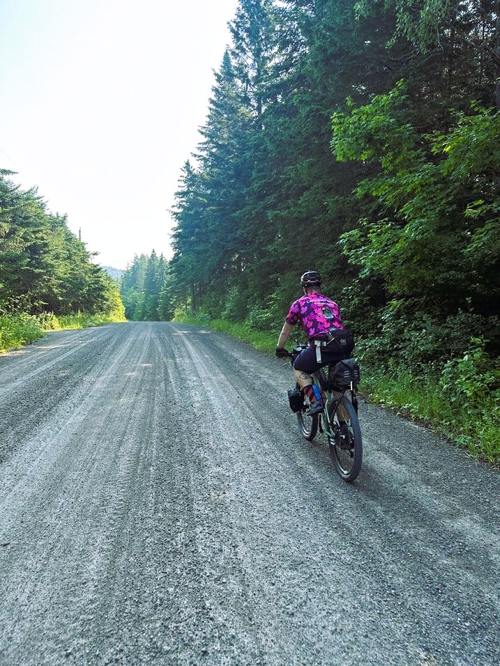
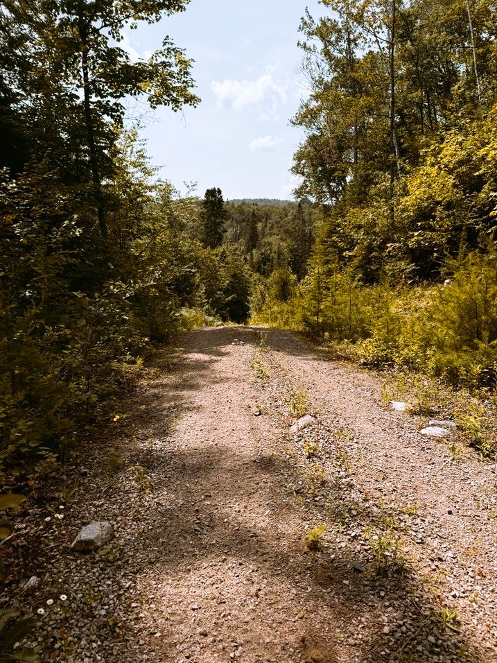
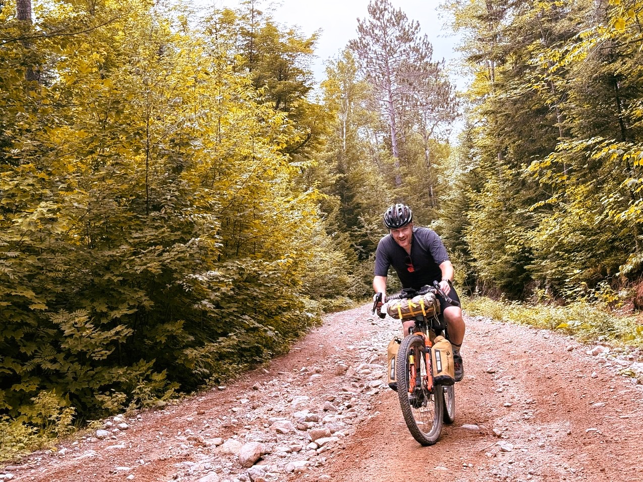
Ouareau Calling is the perfect bikepacking trip for those looking to get away for a weekend of adventure. The start point, Val-David, is only an hour's drive from Montreal, and two-hours away from Ottawa, making this route easily accessible. This route is far from your typical gravel bikepacking ride, but a challenging mountain biking route that twice traverses the rugged Ouareau Forest, which will surely but your legs to the test. The route features a mix of rail-trail, paved and gravel roads, unmaintained roads, forests service roads, ski trails and 4x4 trails.
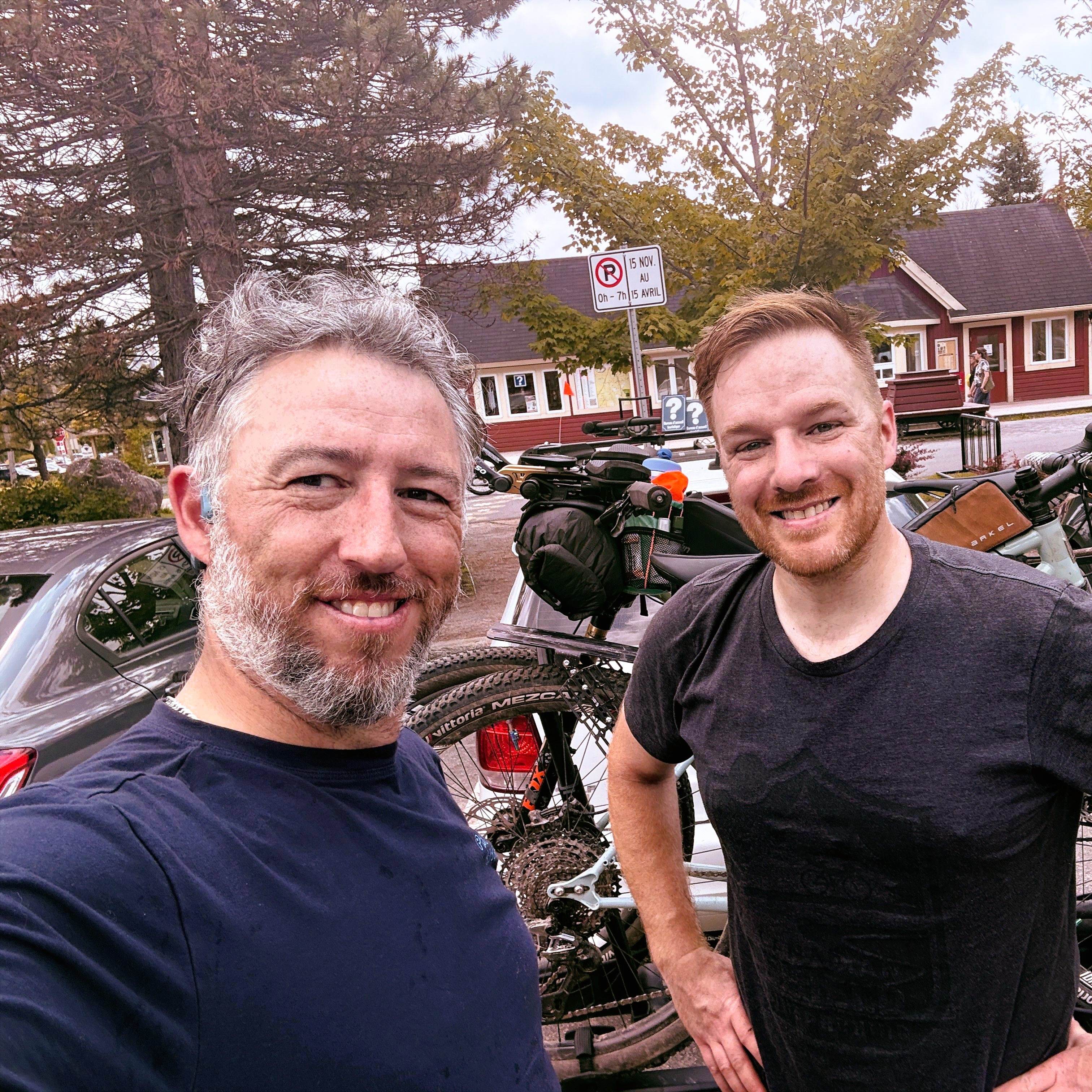
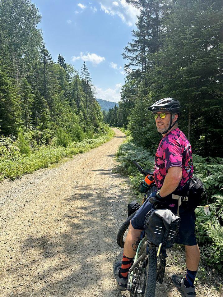
Chris Panasky, host of the Bikepack Adventures Podcast and Carl Presseault.

Our adventure began in Val-David—just a two-hour drive from Ottawa and one hour from Montreal. To get an early start, we arrived the night before and camped nearby. The route kicks off with a mellow ride into Saint-Agathe-des-Monts, then veers north along a blend of paved and gravel roads toward Chemin des Hauteurs and Montée du Cap—our first detour onto unmaintained terrain.
Around the 20 km mark lies the town of Saint-Lucie-des-Laurentides, perfect for a quick resupply. It’s just a short hop off-route. Otherwise, your next opportunity for food and fuel comes at km 38, where Route 125 skirts the bottom of Lac Ouareau. A Sonic gas station with an attached convenience store offers all the last-minute snacks you might want—especially crucial, as you won’t find anything else until you’ve passed through Ouareau Forest twice.
To reach the forest, you follow VTT trails alongside Route 125 for about 7 km until Notre-Dame-de-la-Merci, home to the delightful Resto 601, which serves up solid meals. You enter Ouareau Forest through the Massif gate—make sure you’ve got a copy of your camping reservation on hand to avoid paying the daily park fee.
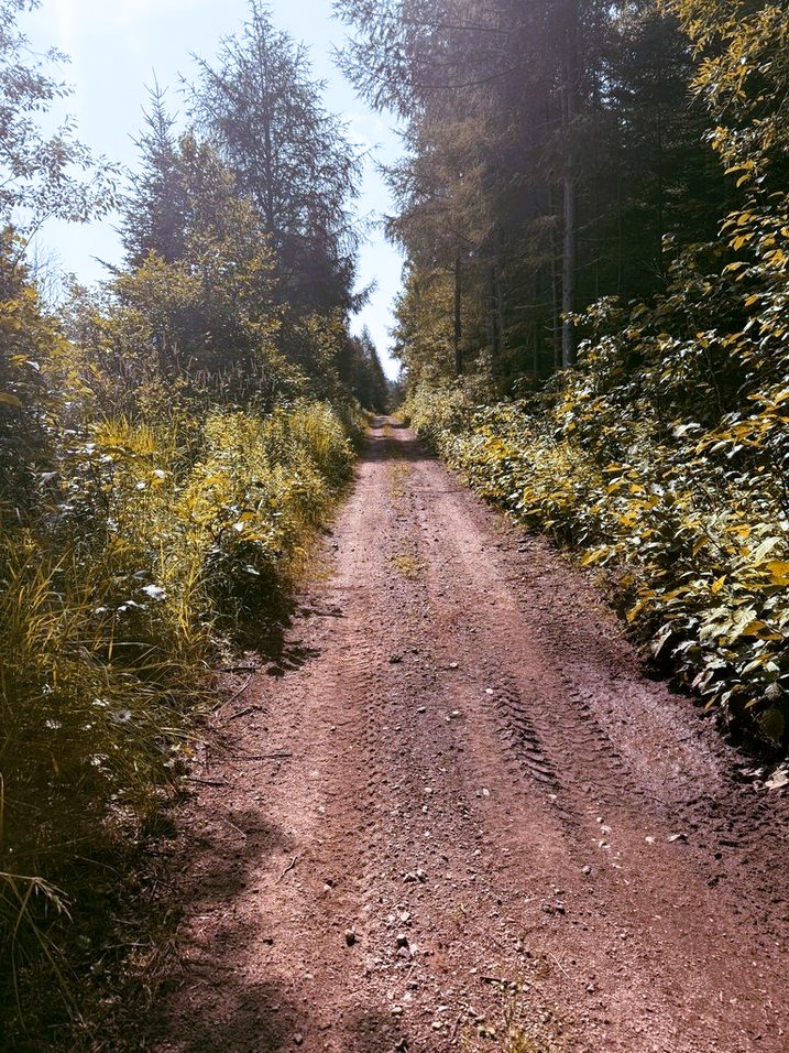
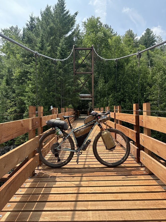
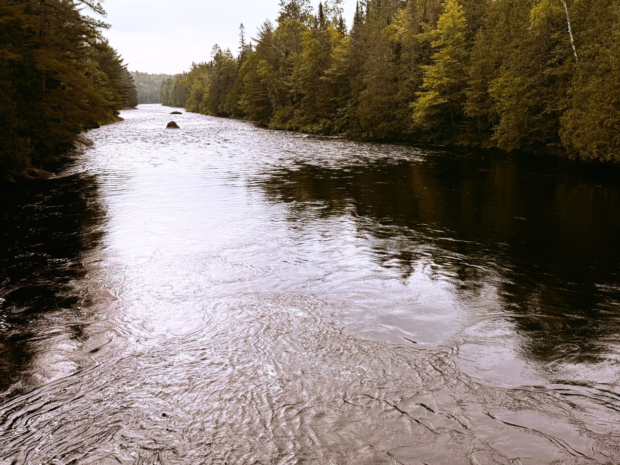
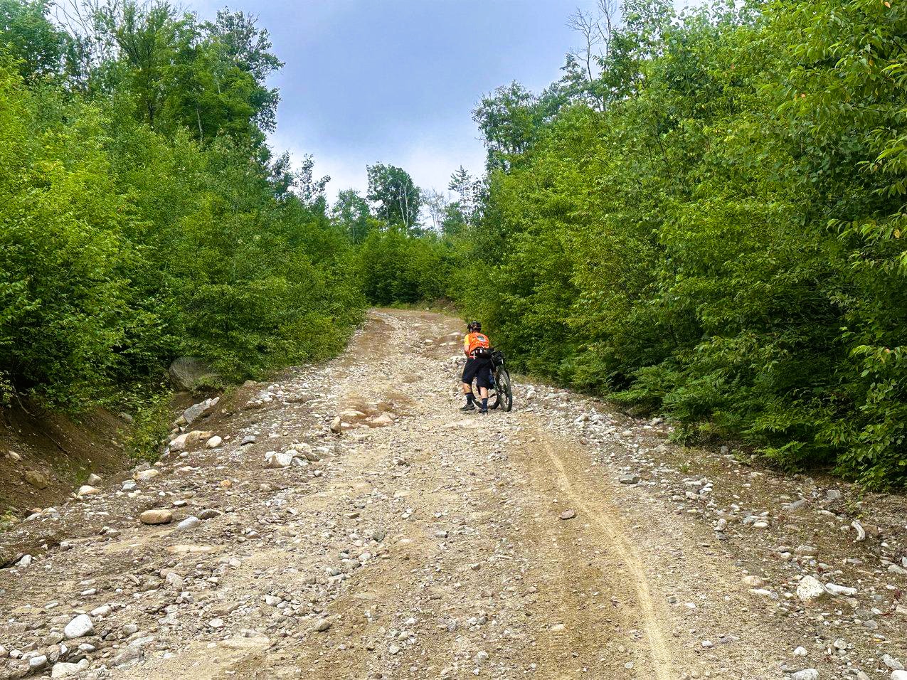
Inside the forest, the route winds through a rugged mix of service roads, ski trails, and 4WD paths. You’ll climb steadily toward the stunning Ouareau River and its suspension bridge—a technical but rewarding 15 km section that could take a couple of hours. Past the bridge, picnic tables offer a breather and a chance to cool off in the water. If you’re short on hydration and don't want to filter, you can purchase water from the attendant at the gate upon exiting.
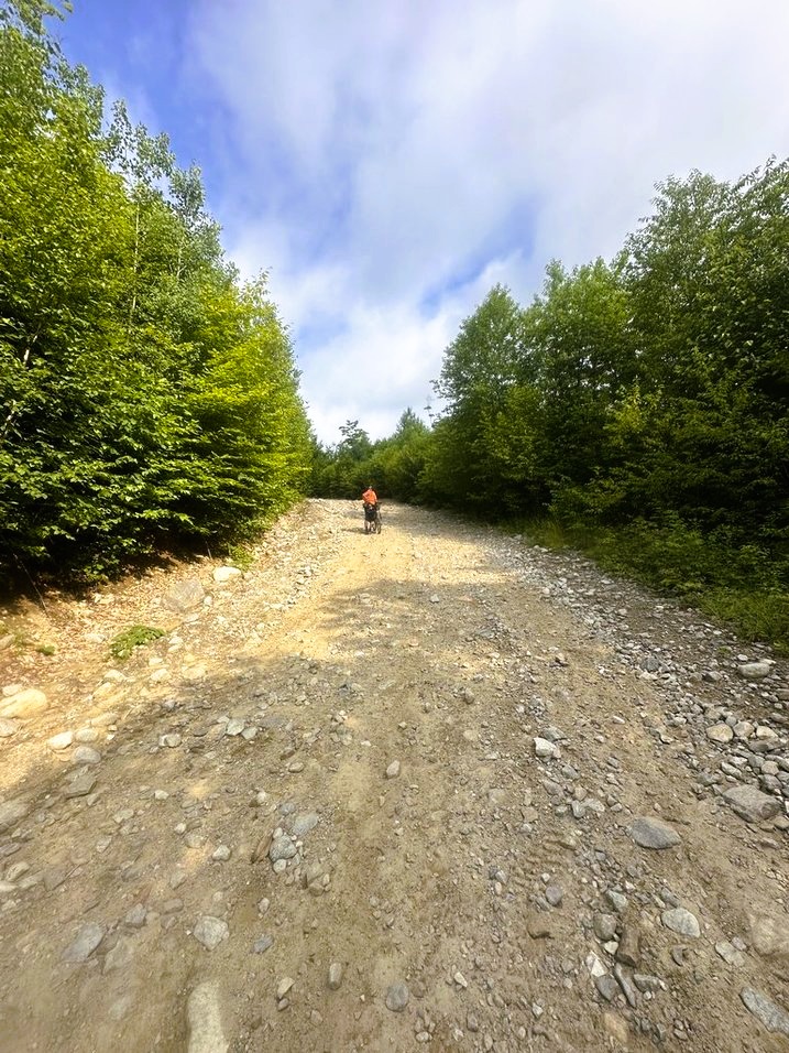
Continuing north, you eventually hit Route 347 for a 4 km stretch of pavement before tackling the route’s toughest ascent—a brutal 1 km climb with sustained grades over 30%. It’s a hike-a-bike ordeal, no doubt. At the summit, the descent starts cautiously—grassy terrain obscures embedded rocks—so dial back your speed until you reach Lac du Pin Rouge and the return of gravel roads.
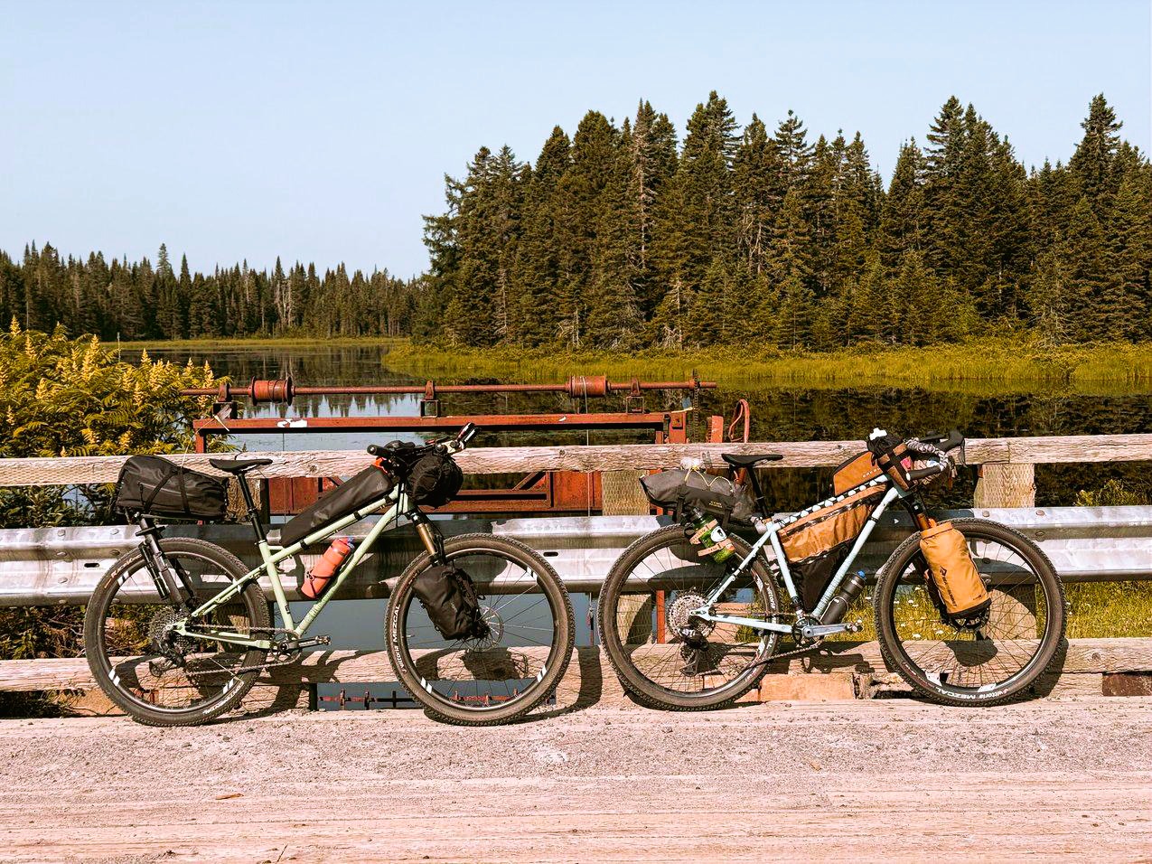
From there, it’s 8.5 km of rolling gravel roads to the Grande-Jetée campsite. Be warned: the site has no services, so bring power banks or solar chargers for your devices. And don’t count on stocked outhouses—bring your own toilet paper.
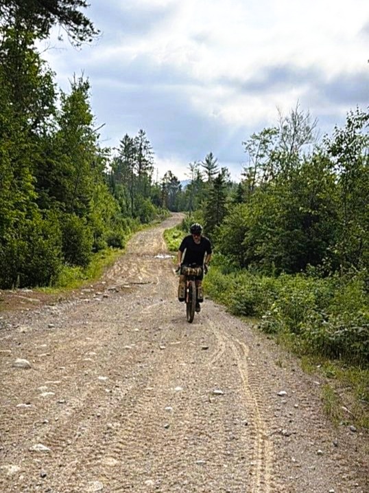
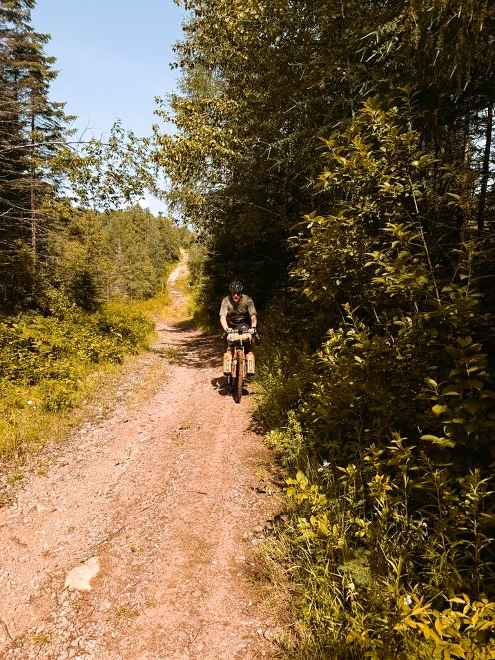
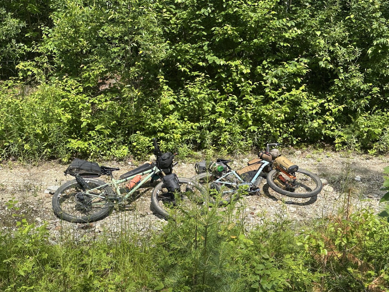
We retraced a few kilometers the next morning, crossing a bridge to head south along VTT trails through Ouareau Forest. Although we had no trouble, some riders have been told bikes aren’t permitted here—so be discreet. These trails are popular with ATVs too, so stay sharp around corners.
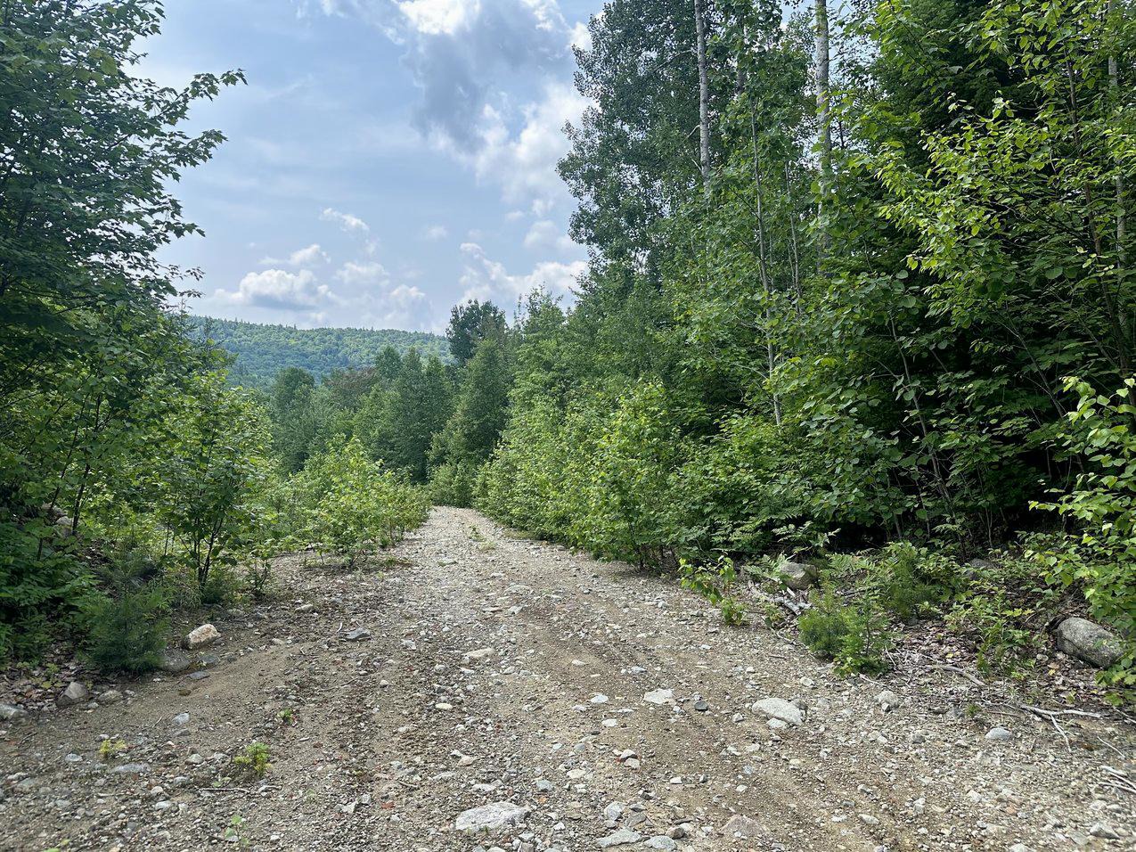
Despite the day’s modest 55 km, the next 14 km of sandy, hilly terrain really sapped our energy. The heat radiating off the exposed trails didn’t help. After grinding through steep, unmaintained climbs and plenty of hike-a-bike, we returned to Route 125 for a smoother ride.
A 10 km stretch of pavement brought us to Entrelacs, where we indulged in chips, soda, and freezies—an oasis after a brutal day. Stocked up, we tackled the final 25 km. Although mostly paved, the segment demanded another 440 meters of climbing before we reached Parc Régional de Val-David–Val-Morin. A short 4 km stint of singletrack led us back down into Val-David to close the loop.
Overall, Ouareau Calling offered a weekend of thrilling contrast—fast, flowy sections balanced by gritty climbs and technical descents through some of Quebec’s wildest backcountry
The Ouareau Forest offers several campsites to choose from, but on weekends are limited to a minimum of two nights rental. We were later made aware that if you book over the telephone rather than the website, you may be able to book for just one night. When we rode the route, we camped at the Grande-Jetée Forêt Ouareau. The sites had no services and the outhouses did not have toilet paper, so be sure to come prepared.
Link to Ouareau Forest booking page --> HERE
Once you enter Ouareau Forest, there will no longer be any food options, so it is essential that you come prepared with sufficient food and snacks. Water is available at the various entrances of the Ouareau Forest, but it is recommended that you also bring a water filter in the event that you run out of water when on the trail.
The sustained difficulty of the VTT trails on the way to Notre-Dame-de-la-Merci and is the Ouareau Forest will be a serious challenge for all but the most experienced riders. Relentless rocky climbs that regularly reach between 10-15% inclines, combined with loose gravel or large rocks scattered across the path will take a toll on you, as will the multiple hike-a-bike sections on the route.
The Ouareau Calling route provides a high degree of technical riding, mostly due to the fact that you need to have good bike handling skills to successfully climb many of the hills, as they are strewn with obstacles, water ruts and potholes.


